Product Reviews
Blog
Podcast
About Us
Contact
More
Average Review
Cost
Ease
Value
Support
Description
Precision Ag Applications uses satellite, plane and drone imagery to identify and quantify data about fields.
Manufacturer:
Tutorial:
GPS 7500
Ag Leader
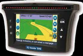
EZ-Guide 500
Trimble
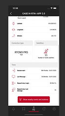
AFS RTK PLUS
Case IH